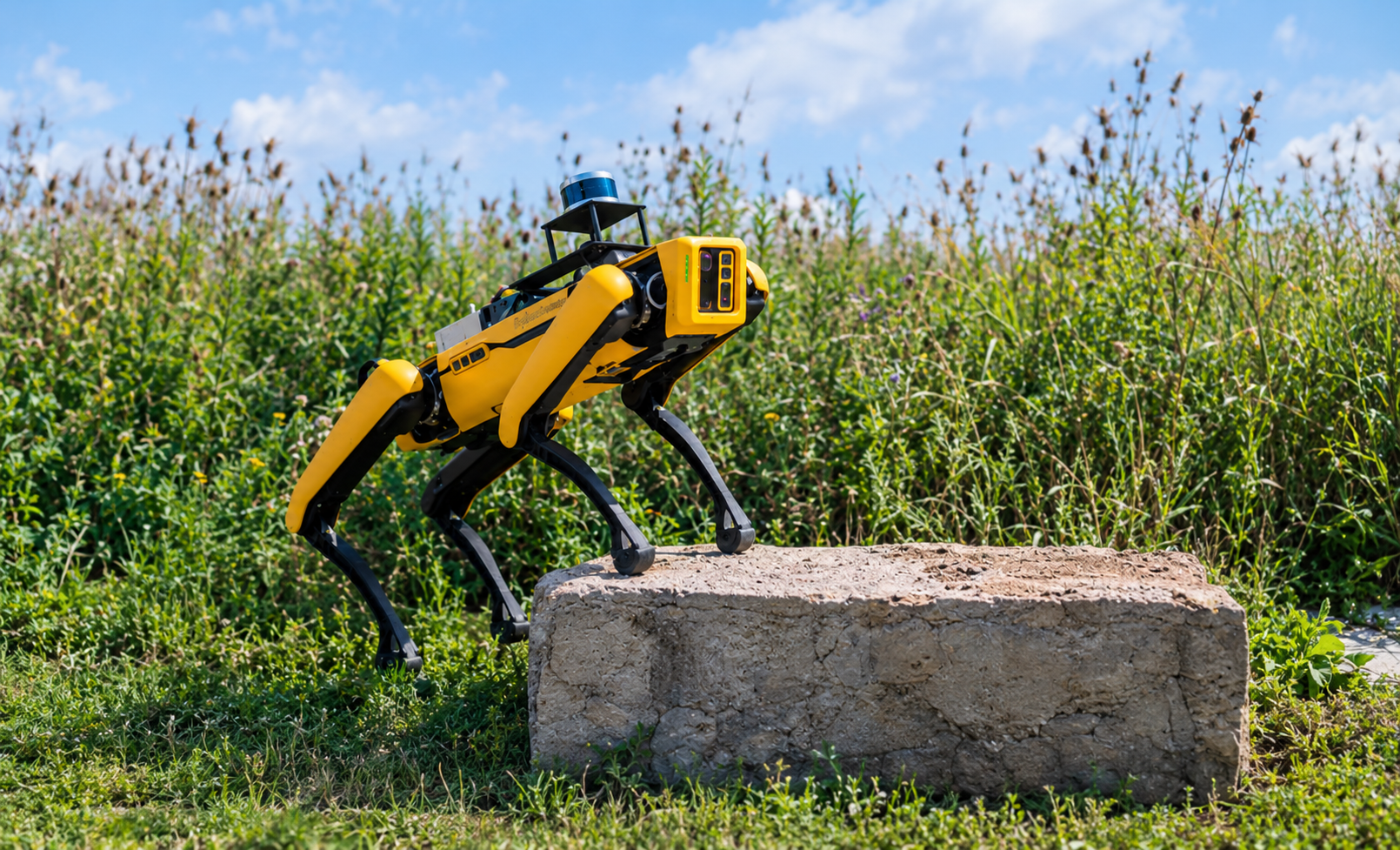
There are few things more embarrassing than confidently walking into a room, forgetting why you came there, and then standing in the middle of it hoping your brain reconnects to the server. Now give that problem to a robot. Except the robot has no brain full of childhood memories, no Google Maps, and definitely no option to casually ask someone, “Bhai, where am I?” It has sensors.And somehow, those sensors have to help it figure out two things at the same time:
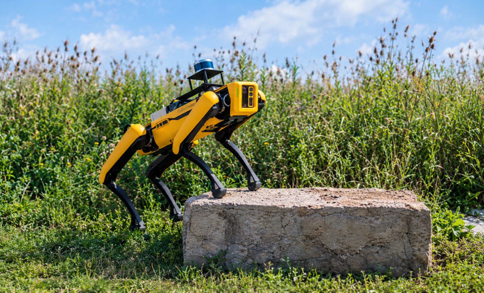
Where am I? And what does the world around me look like?
That is where SLAM comes in the picture.
SLAM: Because Robots Can't Just Ask for Directions
At its core, SLAM solves a deceptively simple problem. A robot enters an environment it doesn't already know. There is no preloaded map telling it where the walls are. There is no GPS giving it precise indoor coordinates. It needs to explore the environment and construct a representation of it while keeping track of its own movement.
That's Simultaneous Localization and Mapping. The two important words here are:
Localization: figuring out where the robot is.
Mapping: figuring out what the environment looks like.
The “simultaneous” part is what makes SLAM interesting. As the robot moves, its sensors continuously collect information about the surroundings. It might detect a wall three metres away, recognise a corner, notice a doorway, or identify visual features in the environment.
The robot then uses this information to estimate:
where it has moved,
what the environment looks like,
where previously detected features are located,
and how its current position relates to the map.
Then it does it again. And again. Basically, SLAM is the robotic equivalent of trying to reconstruct an entire city while walking through it, except your walking directions are also being generated by you.
Why can't the robot just use GPS?
GPS works brilliantly outdoors, but indoor environments, warehouses, factories and many other robotic applications create problems. GPS may not provide the precision required for a robot moving around objects, corridors or machinery. A robot often needs much more detailed information about its immediate surroundings.
SLAM can provide that local understanding. That is why you'll find SLAM associated with autonomous mobile robots, warehouse robots, drones, self-driving systems, robotic vacuum cleaners and exploration robots.
The Core Vibe Check: How It Actually Works
The basic SLAM process can be thought of as:
Sense → Estimate → Map → Localize → Repeat
The robot first collects data using its sensors. Then it estimates how it has moved. Next, it uses that information to build or update its map. At the same time, it estimates where it currently is inside that map. The process keeps running as the robot moves through the environment. But there is one major problem.
Error.
Even tiny errors in wheel measurements, sensor readings or motion estimation can accumulate over time. After travelling through a large environment, the robot's estimated position can drift significantly from its actual position. This is called drift and this is where SLAM gets clever.
The robot can recognise places or features it has encountered before. This is known as loop closure. For example, the robot may travel around a building and eventually encounter a doorway that looks familiar.
Its internal reaction is basically:
“Wait. Haven't we already been here?”
That recognition can tell the SLAM system that its previous estimates have accumulated some error. The system can then optimise the map and robot trajectory to make everything fit together more accurately. So instead of blindly trusting every previous measurement, SLAM continuously tries to make the entire map and trajectory more consistent.
But how does the robot actually see anything?
This depends on the type of SLAM. And that brings us to the robotics equivalent of choosing your character before the boss fight.
Visual SLAM vs LiDAR SLAM - The Ranking
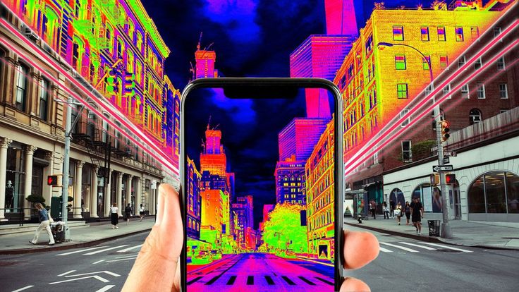
Not all SLAM systems perceive the world in the same way. Two of the most common approaches you'll encounter are Visual SLAM and LiDAR SLAM.
Neither is automatically “better.” The right choice depends heavily on the robot, environment, sensors, computing resources and application.
i) LiDAR SLAM
LiDAR stands for Light Detection and Ranging. Instead of relying primarily on images, a LiDAR sensor sends out laser pulses and measures how long they take to return after hitting objects. The result is distance information that can be used to understand the geometry of the surrounding environment.
A 2D LiDAR, for example, can produce a scan of the environment around a mobile robot.
That information can help identify:
walls,
corners,
obstacles,
corridors,
and other geometric structures.
Why LiDAR SLAM is popular:
It works particularly well in environments where geometry is important. It is also less dependent on visible textures and lighting than camera-based approaches. The sensors can be expensive, reflective or transparent surfaces can create challenges, and the quality of the resulting map depends heavily on the sensor and environment.
ii) Visual SLAM
Visual SLAM uses cameras to understand the environment. Instead of measuring distance directly with laser pulses, the system analyses visual information from images and tracks features as the camera moves. Corners, edges, textures and other visual features can become useful landmarks.
A Visual SLAM system can estimate camera movement and construct a representation of the environment from these observations. And because cameras are relatively accessible, Visual SLAM can be attractive for robots and devices where cost, size or weight matter.
However, Poor lighting, motion blur, repetitive textures and environments with very few distinguishable features can make visual tracking difficult. A completely blank wall is basically the camera equivalent of someone giving you an exam question with no information.
So which one wins?
There isn't a universal winner. A warehouse robot may benefit heavily from LiDAR. A small robot with a camera might use Visual SLAM. Some systems combine multiple sensors to get the advantages of each. This is known as sensor fusion.
For example, combining camera data with IMU measurements can produce Visual-Inertial SLAM, where information about visual features and motion is used together.
Real-World Applications
SLAM becomes much more interesting when you stop thinking of it as just a mapping algorithm and start looking at what robots can actually do with it.
Autonomous Mobile Robots
Mobile robots operating in warehouses, factories and other indoor environments can use SLAM to understand their surroundings and estimate their position. Instead of following a completely fixed route, a robot can use its map and localization information as part of a larger navigation system.
Robotic Vacuum Cleaners
That little robot vacuum aggressively exploring your house isn't necessarily wandering around randomly. Many advanced robotic vacuums use mapping and localization technologies to create maps of rooms and plan their movement. It may know where the sofa is better than you do. At least someone in the house does.
Drones
GPS isn't always enough for drones operating indoors or in environments where GPS signals are unavailable or unreliable. Visual and other forms of SLAM can help drones estimate their movement and understand their surroundings. This becomes especially useful for autonomous navigation and exploration.
Self-Driving and Autonomous Vehicles
SLAM-related techniques can contribute to how autonomous systems understand their environment and estimate their position. Vehicles use multiple sensors, including cameras, LiDAR and other sensing systems, to perceive their surroundings. In real autonomous systems, however, SLAM is only one piece of a much larger puzzle involving perception, localization, planning, control and navigation.
The Bigger Picture
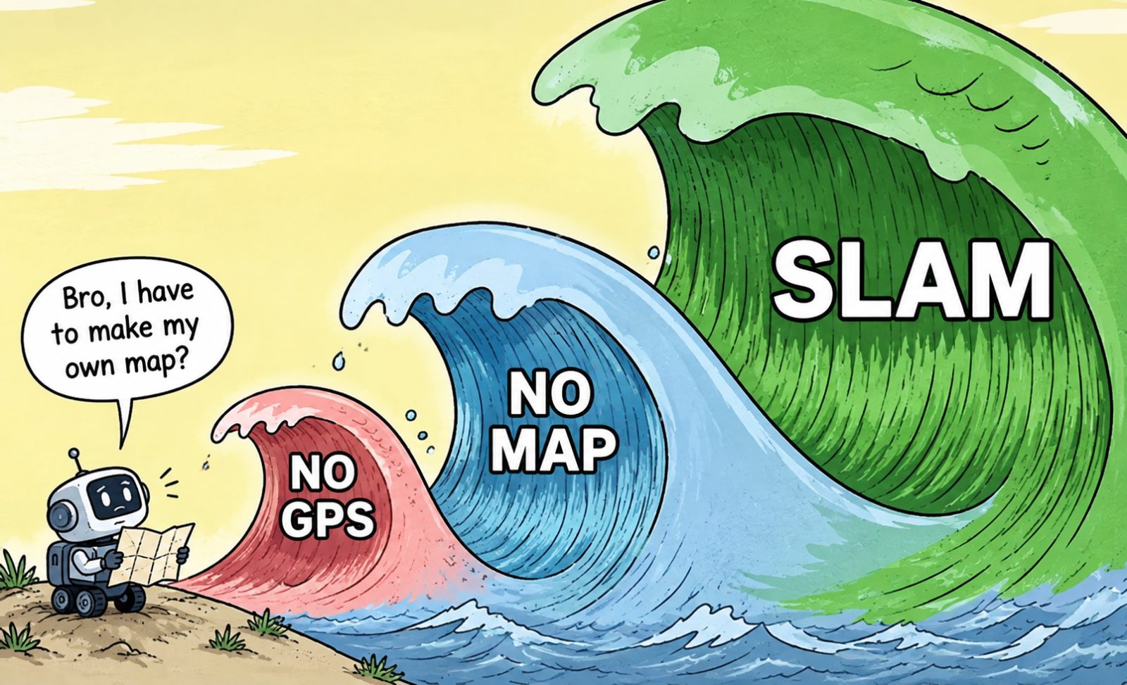
SLAM is not the final destination of autonomous robotics. It is one of the systems that helps a robot understand where it is and what its surroundings look like. From there, other systems can take over:
SLAM → Planning → Navigation → Control
And that is what makes SLAM such an important concept in robotics. A robot doesn't become autonomous simply because it has motors, sensors and a suspicious amount of code. It needs to understand its environment. SLAM gives it one of the most important abilities required to do exactly that:
building a map while figuring out where it is on the map.